Reliable, all-weather imagery.
Affordable, high-volume capacity.

Reliable, all-weather imagery. Affordable, high-volume capacity.

Today's satellites lack the industrial scale to track changes globally. Until now.

While current satellites are limited by weather, daylight, and sensor performance, Extellis brings a unique blend of wide-area reach and consistent access. All with sensible economics in mind.

Near-real-time satellite images

All-weather, 24/7 visibility

High-capacity and affordable

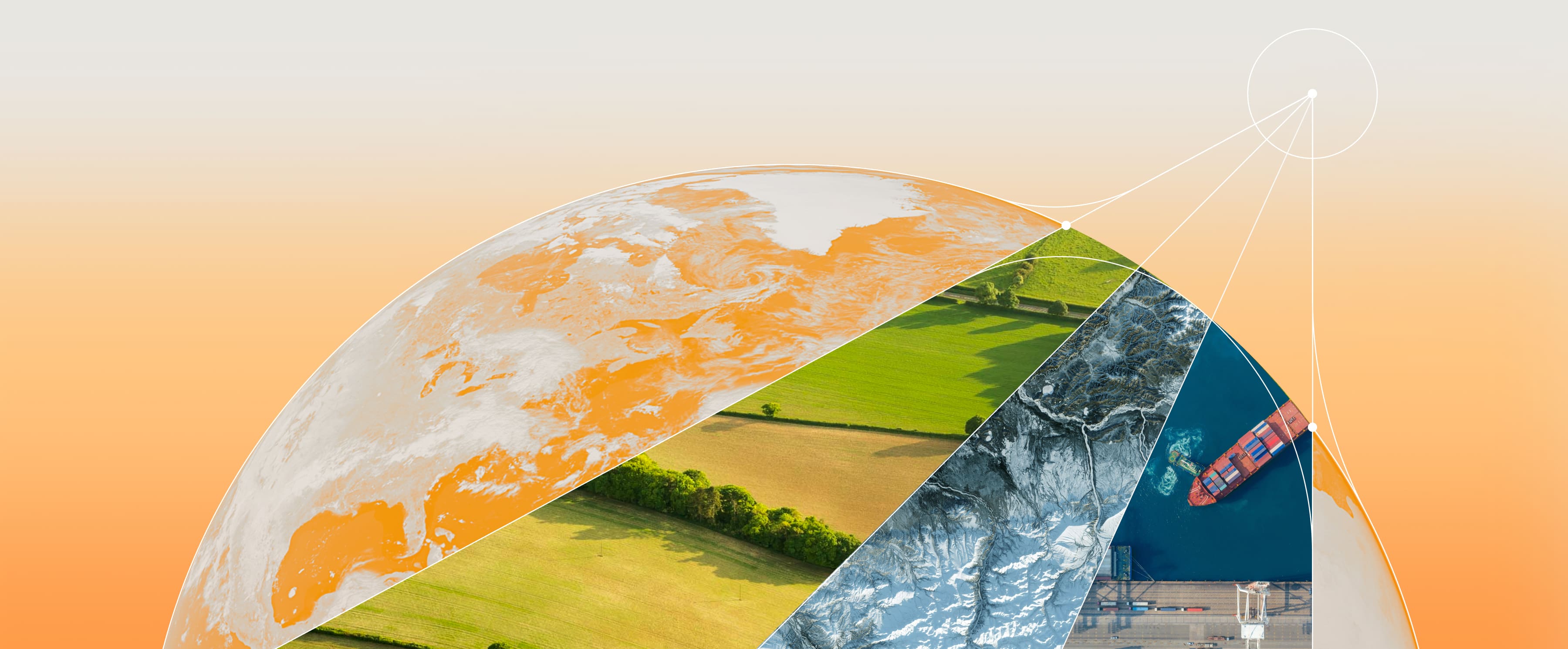
Unprecedented imaging.
Unparalleled value.

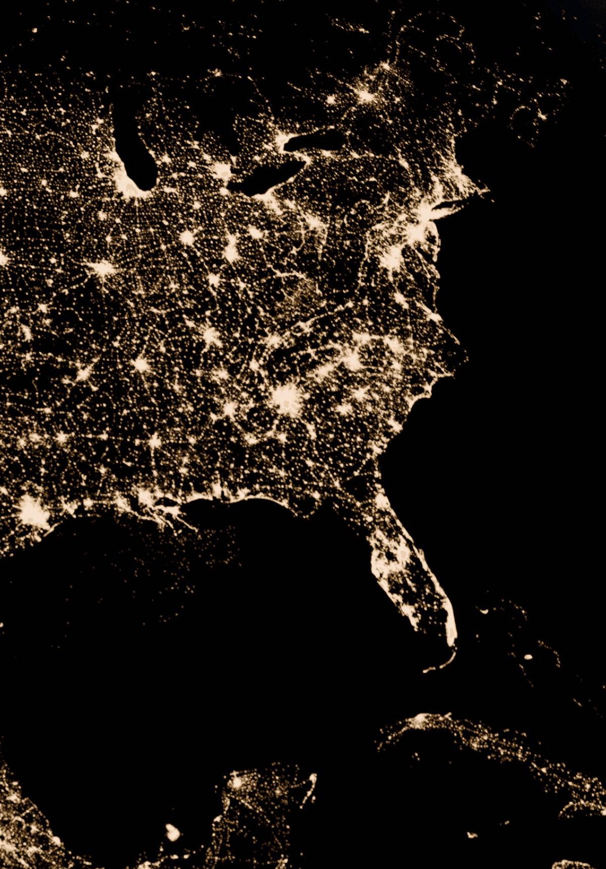
Just one Extellis SAR satellite covers the entire Earth annually in high resolution. Competitors needs hundreds of satellites to get close.

Just 1

Extellis Satellite

Just 1

Just 1

Extellis Satellite

Extellis
Satellite

COMPETITORS

COMPETITORS

200

Reflector Dish

200

Reflector Dish

Reflector
Dish

450

Electronically Steered

450

Electronically Steered

Electronically Steered

Reliable, accessible, and innovative satellite imagery

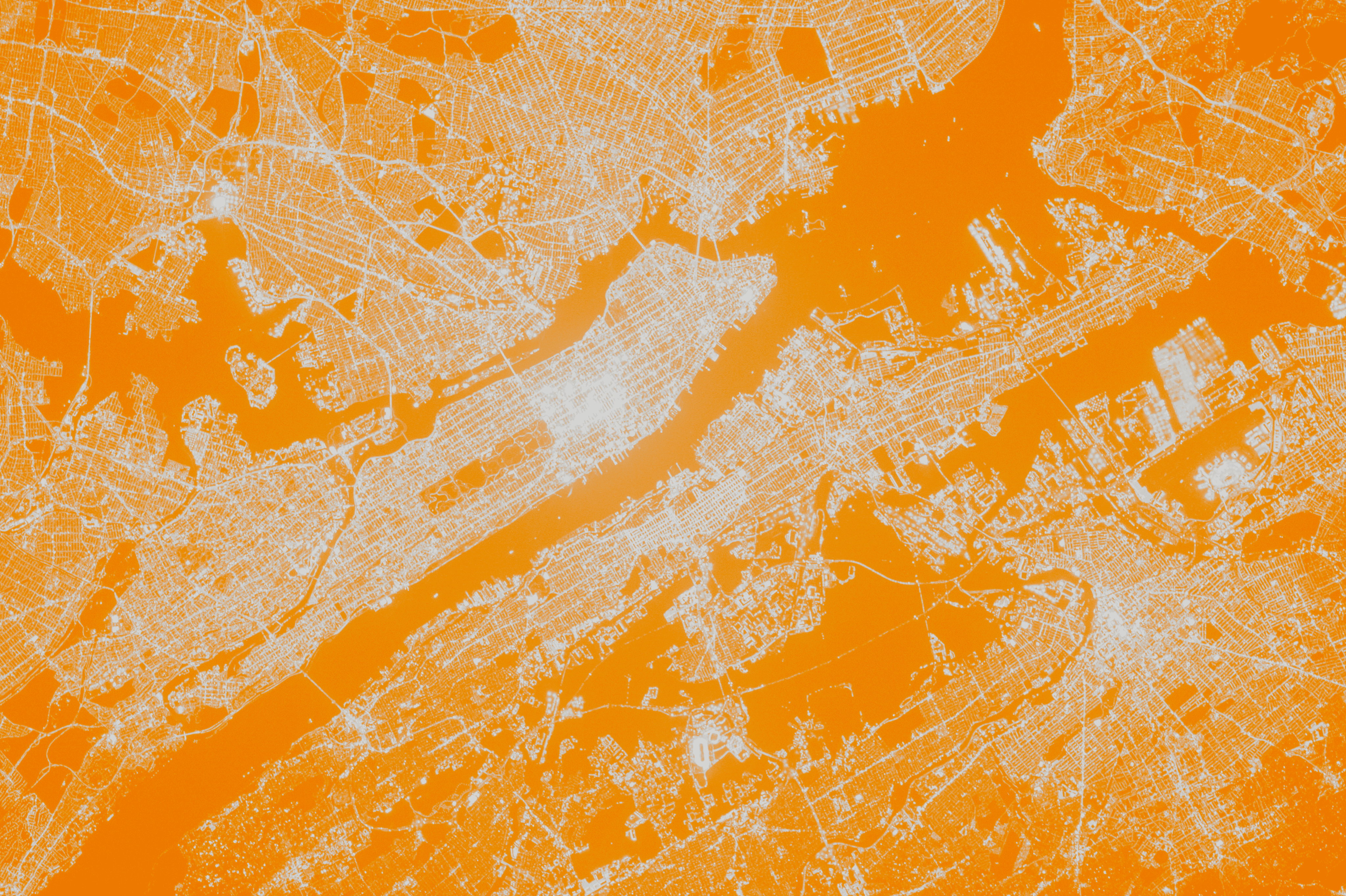
Extellis's efficient antenna technology expands access to more industries and users. Finally, there’s an affordable option to open up the market.

Scientific Research

Subsidence Detection

Agriculture Management

Pipeline Monitoring

Weather Insights

Scientific Research

Subsidence Detection

Agriculture Management

Pipeline Monitoring

Weather Insights

Route Planning

Vegetation Management

Military Intel

Insurance Monitoring

Ship Tracking

Route Planning

Vegetation Management

Military Intel

Insurance Monitoring

Ship Tracking

Extellis offers industry-leading capacity and agility

Comparison

Optical

Current SAR

Reliability

Capacity

Agility

Poor

High

High

High

High

High

Minimal

Minimal

Minimal

Extellis offers industry-leading capacity and agility

Comparison

Optical

Current
SAR

Reliability

Capacity

Agility

Poor

High

High

High

High

High

Minimal

Minimal

Minimal

Reserve images

RSVP for First Light

RSVP
for First Light

FirstLight@Extellis.com

FirstLight@Extellis.com

Dream with us

What would you capture?

What would you capture?

What would you capture?

IdeasWorthCapturing@Extellis.com

IdeasWorthCapturing@Extellis.com

IdeasWorthCapturing@Extellis.com